 The Paleoindian Database
of the Americas
The Paleoindian Database
of the Americas| Alabama (Click on the link below to access the database file(s). The data is in Excel format. If your computer will not open the file within your browser, right click on the link and choose the "save target as" option to save the file to your computer.) The Alabama Fluted Point Survey Corresponding artifact images for Alabama! Alabama Fluted Point Survey Point Recording Form and Instructions (.pdf )
This information was graciously provided by If you have data you would like to upload for this state, click here. |
|||
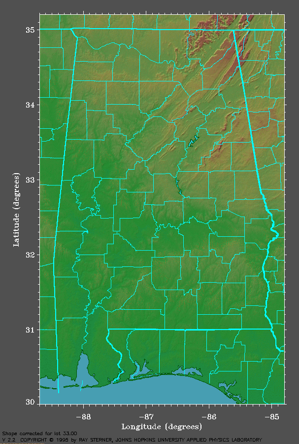
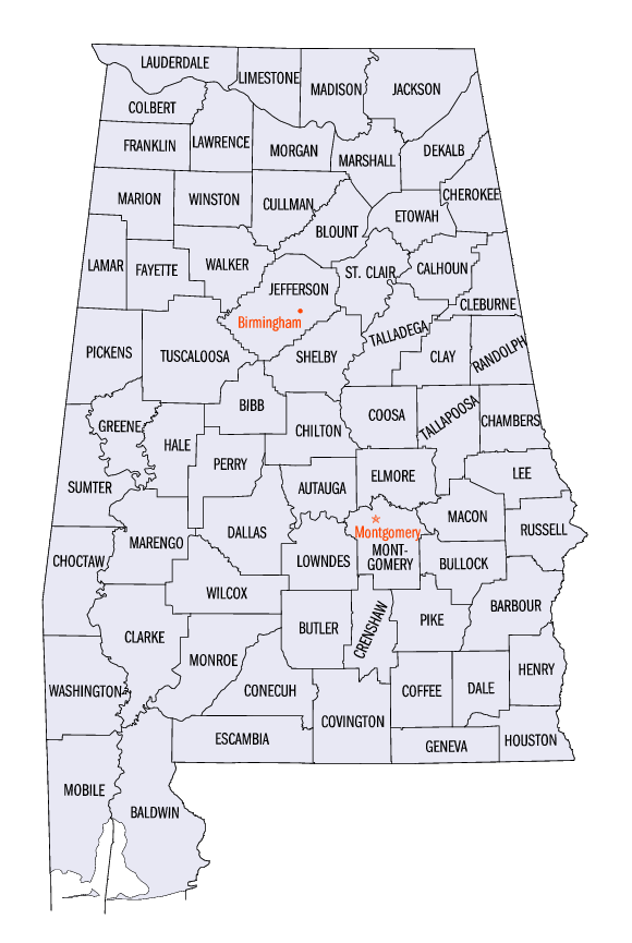
Click on the thumbnails for the full maps. |
|||
Shaded Relief Map |
Black and White County Map |
||
 |
 |
||
| (Image courtesy of the "Color Landform Atlas of the United States" ) | (Image courtesy of the U.S. Census Bureau) | ||
| Links | References |
If you have a link to a web-site that you would like add, please email dmiller6@utk.edu |
|