 The Paleoindian Database
of the Americas
The Paleoindian Database
of the Americas|
Indiana (Click on the link below to access the database file(s). The data is in Excel format. If your computer will not open the file within your browser, right click on the link and choose the "save target as" option to save the file to your computer.) Indiana, Ohio, and Kentucky Metric Data Indiana, Ohio, and Kentucky Sites Indiana, Ohio, and Kentucky Point Data Northeastern Indiana (White 2006) If you have data you would like to upload for this state, click here. |
|||
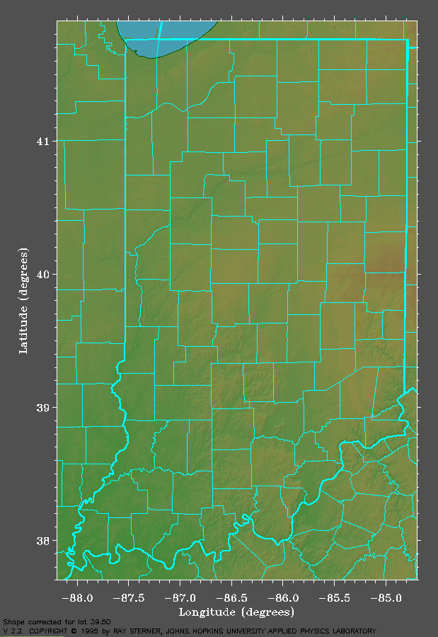
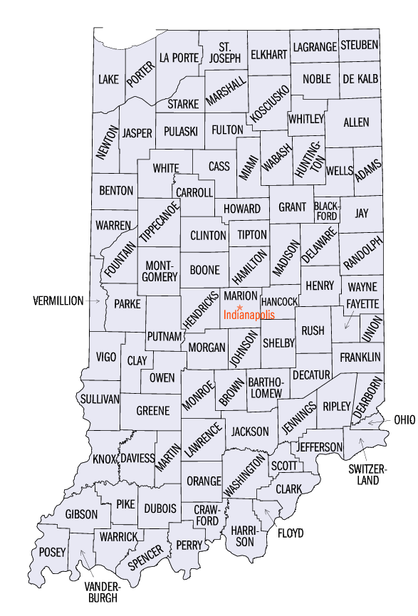
Click
on the thumbnails for the full maps. |
|||
Shaded
Relief Map |
Black
and White County Map |
||
 |
 |
||
| (Image
courtesy of the "Color
Landform Atlas of the United States") |
(Image
courtesy of the U.S. Census Bureau) |
||
| Links | References |
| IPFW - Archaeolgical Survey | Dorwin, John T. Tankersley, Kenneth B. White, Andrew A. |